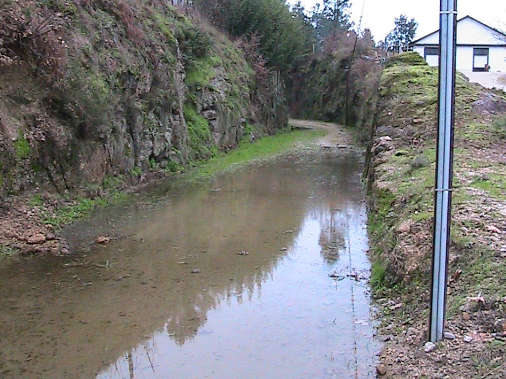
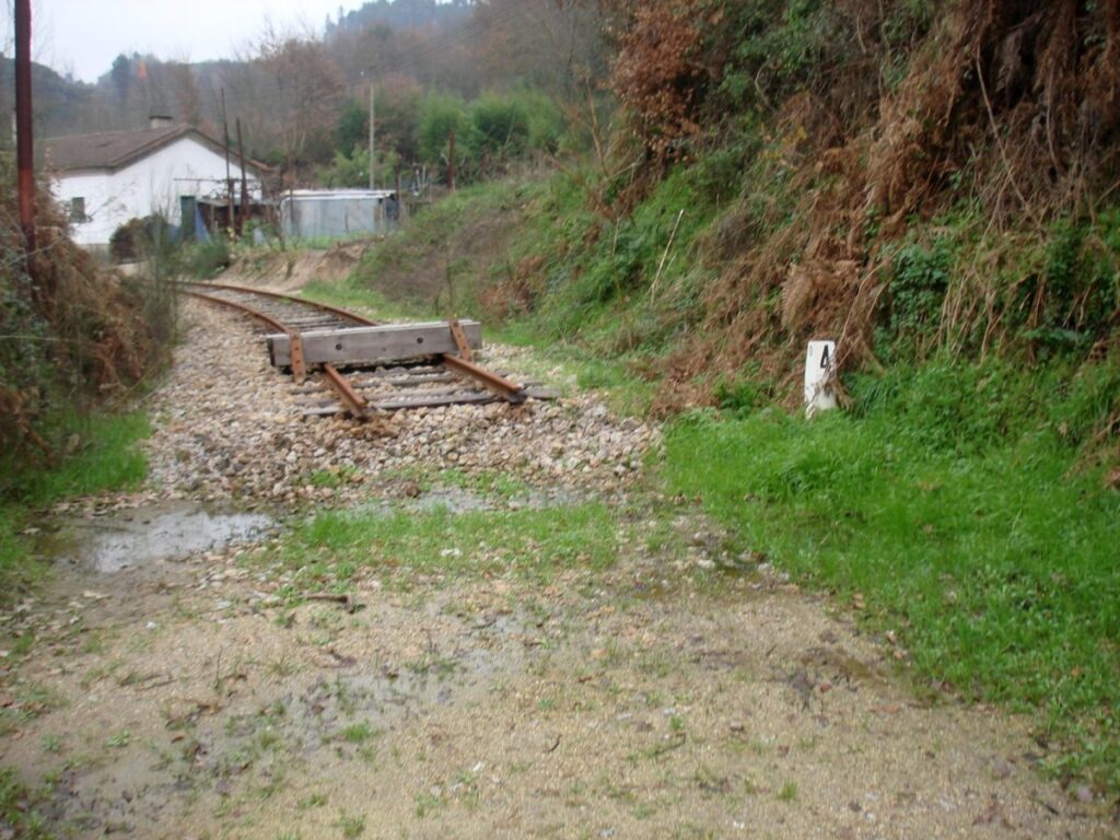
It’s a 12,77 Km railway in the valley of the Tâmega River, it was inaugurated in 1909 and crosses 6 villages till it finishes in the city of Amarante. This short railway has 3 bridges.
Total distance: 8646 m Total climbing: 0 m Total descent: -32 m
All the villages have small buildings or small train stops, but the main station building it’s in the city of Amarante.
From Amarante to Arco de Baúlhe – Cabeceiras de Basto, the greenway is already transformed (39 km). https://www.ippatrimonio.pt/pt-pt/ecopistas-ip-patrimonio/ecopista-do-tamega
Potential activities depend on the type of surface they can install on the ground.
Potential users are pedestrians, runners and mountain bikers.
If there is a plan for transforming this railway into a greenway, it’s not public yet.